ship14

SoilScale

Concept study

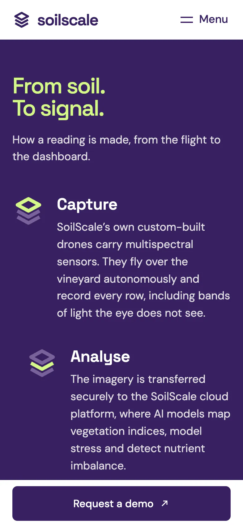
Vineyard monitoring from the air: drones with multispectral cameras capture every row, and the site shows where vines need a closer look.

Open the live site

SoilScale. Vineyard monitoring by drone. The view on a computer.

What we built

Drones with multispectral cameras and CropGuard AI, explained on one page.
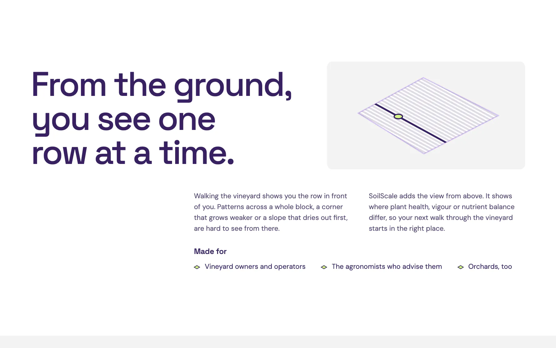
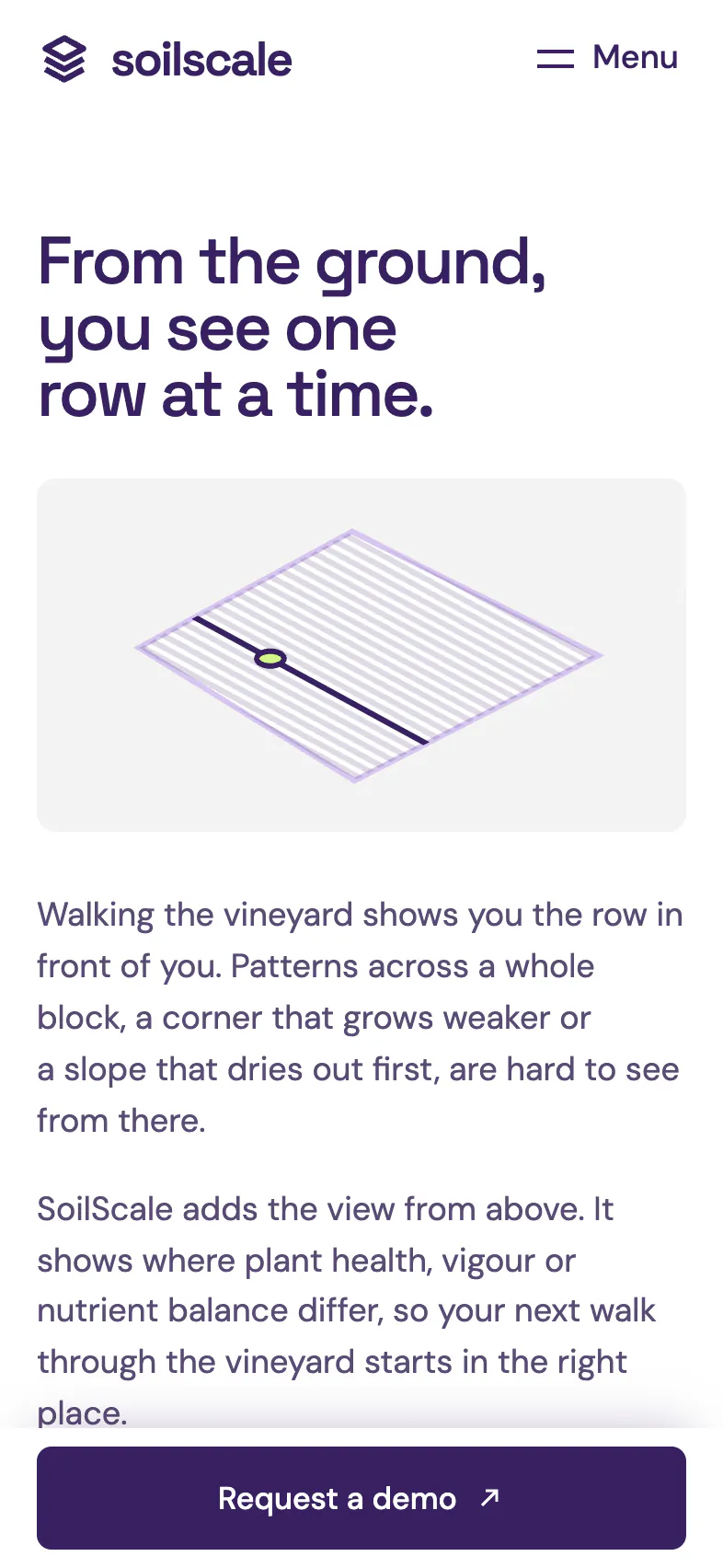
SoilScale. From the ground you see one row at a time, from above the whole block.
From the ground you see one row at a time, from above the whole block.

English and Slovak.

SoilScale. On a phone: who it is for.
On a phone: who it is for.
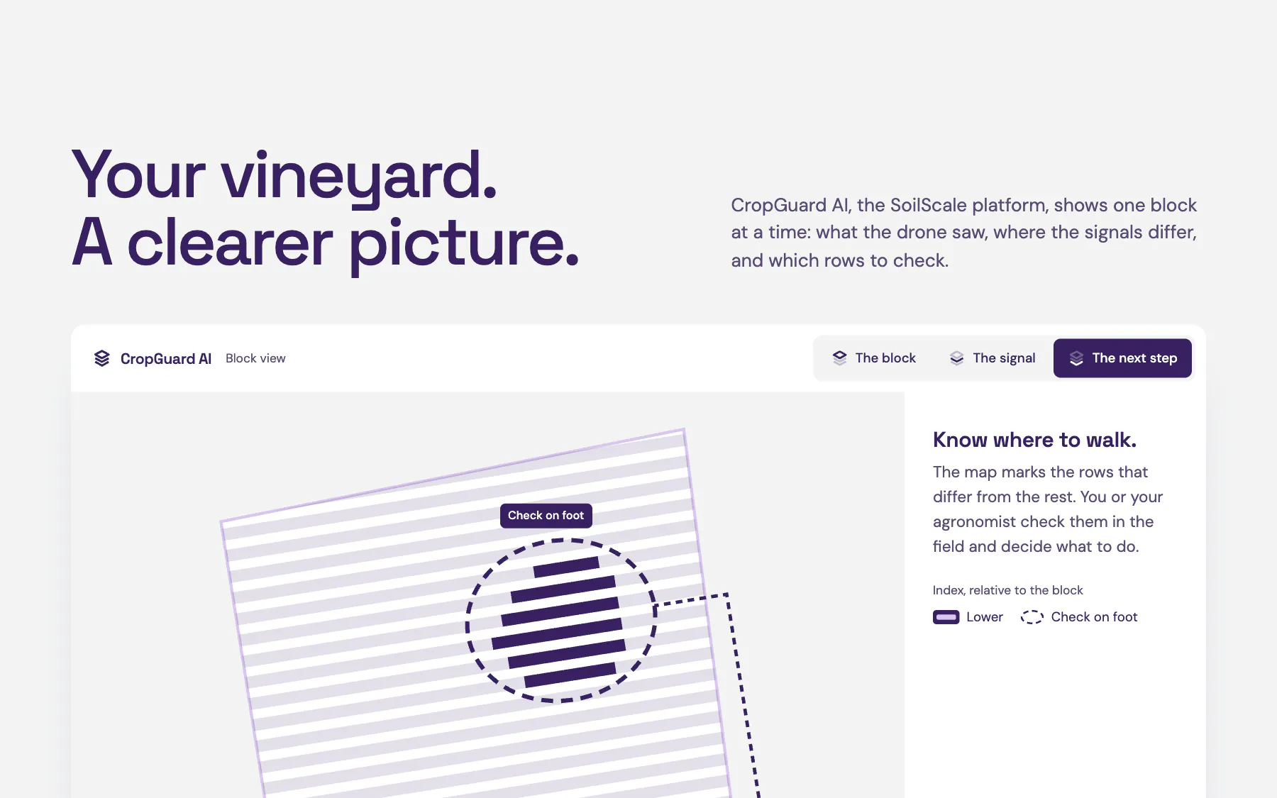
SoilScale. On a phone: the map marks the rows to check.
On a phone: the map marks the rows to check.
SoilScale. An illustration: rows to check on foot. Not field data.
An illustration: rows to check on foot. Not field data.

Our work

Type
Concept study
Trade
Vineyard monitoring by drone
Our work
  • Concept
  • Design
  • Development

Results

We state none. The brand does not exist, so there are no customers and no figures.

Tell us what you need. You see your own draft before we talk about money.

Write to us